Hemispheric Asymmetries in Geospace

Frederick Wilder at the geographic south pole.
Rick Wilder at the South Pole.

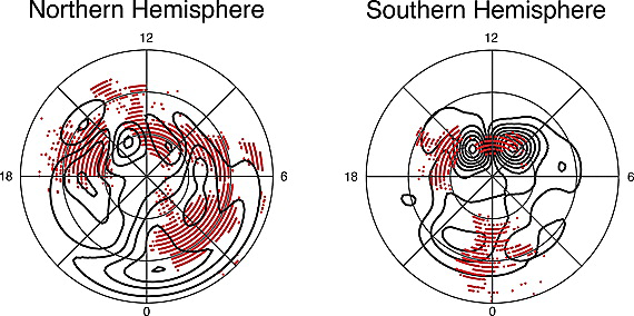
One of the big unknowns in magnetospheric physics is how asymmetries in the magnetic field between the northern and southern poles can impact the space environment as a whole. With sophisticated models and expanding ground and space instrument coverage, we have an opportunity to finally address hemispheric asymmetries in geospace. To that end, I am helping with the Center for Unified Studies of Interhemic Asymmetries (CUSIA) DRIVE center, funded by NASA (PI: Dr. Daniel Welling, UT Arlington).

Simulation showing an example of hemispheric asymmetries in geospace.

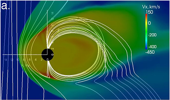
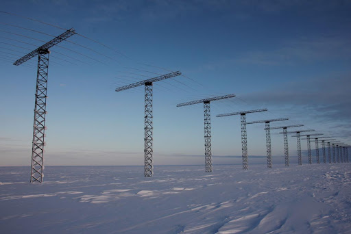
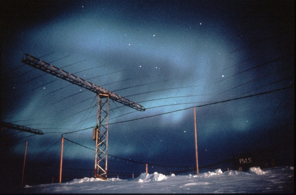
The main tools I use include in-situ data from MMS, as well as maps of polar ionospheric plasma convection measured by radars. These allow us to characterize the state of the magnetosphere-ionosphere system. To measure plasma convection in the ionosphere, we use data from the Super Dual Auroral Radar Network (SuperDARN), a network of radars that allow us to make maps of plasma flows.

The Halley Station radar in Antarctica. Image courtesy the Virginia Tech SuperDARN Group.
The same Halley Station radar with aurora borealis. Courtesy the British Antarctic Survey.
Example of polar convection maps measured by SuperDARN. These are looking down on the poles. The minimum latitude is shown is 70 degrees. The top of the maps face the sun (local noon). From Wilder et al., 2011, Journal of Geophysical Research.